The SwathProfiler is an ArcGIS Add-In to extract swath profiles. It works for ArcGIS version up to 10.1.
To install them simply double click the Add-In file SwathProfiler_ArcMap_Addin.esriAddIn. It is not necessary to keep the Add-In file in the computer, it will be copied to "<user_directory>\Documents\ArcGIS\AddIns".
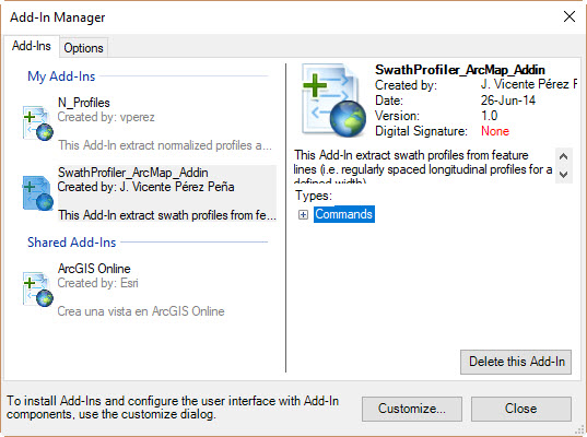
Once installed they should appear in the Add-In Manager of ArcMap , under Menu > Customize > Add-In Manager.
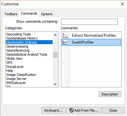
To add tool:
- Go to Menu > Customize > Customize Mode.
- Select the Commands tab and locate the "Geomorphic Indexes" category.
- Drag and drop the command button to any toolbar of ArcMap

To use the Add-In simply click on the added button and the program will show an inputbox to select the input parameters:
- Line feature class: Input line shapefile. Each line in this shapefile will be considered as a swath base-line
- Digital Elevation Model: Input raster with elevations
- Strip width: Total width for the swath. I.e. the resulted swath will be a buffer of length = (strip width / 2) centered in each base-line
- Step size (optional): Step size to take elevation points in each profile. By default, it will take 1,5 * DEM cellsize
- Number of profiles (optional): Number of parallel profiles for each swath. By default, it will generate 50 profiles (25 to each side of the base-line).
- Only selected: Only extract Swath profiles for selected features of the line shapefile
Once the profiles are extracted, the main window will display the profiles.
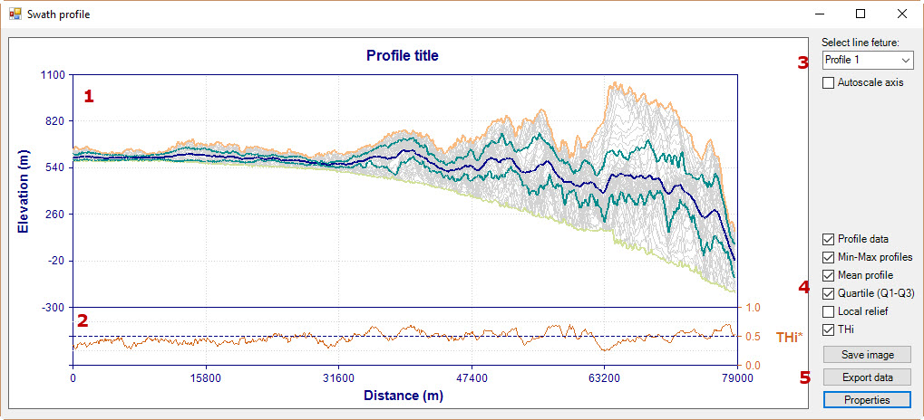
This main window has the following parts:
- Swath profile area (with the max, min and mean elevation, Q1 and Q3 quartiles and profile data.
- THi profile (see Pérez-Peña et al., 2017 for details)
- Combo-box to display the extracted swath profiles. The Autoscale axis check-box recalculates horizonal and vertical scales to fit each profile within the window.
- Check-boxes to select which data display in the main window
- Buttons to save and export data. The properties button allows to select different display properties.

Pérez-Peña, J. V., Al-Awabdeh, M., Azañón, J. M., Galve, J. P., Booth-Rea, G., & Notti, D. (2017). SwathProfiler and NProfiler: Two new ArcGIS Add-ins for the automatic extraction of swath and normalized river profiles. Computers & Geosciences, 104(135), 150. https://doi.org/10.1016/j.cageo.2016.08.008